A group of ninth-grade students proved Wednesday they have at least one thing in common with the Regional Transit System and wildlife conservationists - they know how to use GPS technology.
To be more precise, they know how to use Geographic Information Systems. This technology, which is used to layer spatial data on maps, was the focus of National GIS Day, according to gisday.com.
George A. Smathers Library, also known as Library East, invited P. K. Yonge Developmental Research School students to join UF and Santa Fe College students and faculty for lectures and activities based on GIS uses today.
About 180 people attended this year's event.
The P.K. Yonge students, part of the Advanced Placement Human Geography program, competed in pairs to see who could come up with the best GIS map. The prize: $10 movie tickets, said Carol McAuliffe, map librarian at Library East and event coordinator.
They created systems that ranged from the fire sites in California and their effects on animal habitats to the best locations for a cupcake bakery.
The first-place map showed food accessibility in Hawaii. The winners were not available for comment.
"The teacher said there'd be a field trip," runner-up contestant Lauren Kern said, "and it turned into this huge project."
Kern, 14, designed a map with her partner depicting the population density in different earthquake areas. She said her favorite part about GIS Day was seeing how the technology can be applied everywhere.
"We never question how things work, we just see them work."
In the morning, Library East hosted a series of lecturers explaining the use of GIS in their fields. UF researcher Dr. Amr Abd-Elrahman explained how mapping several bands of radiation - called hyperspectral imaging - might one day be used to detect the quality of water in ponds.
Dr. Sabine Grunwald showed how she has been using a similar concept to try predicting changes in soil throughout continents.
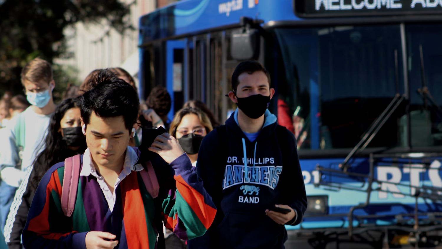
RTS transit planners discussed the different uses of GIS for planning routes and developing the Gator Locator, which students can access online to track real-time locations of RTS buses.
"GIS has changed how people are looking at geography," McAuliffe said. "It's about humans doing more to understand the world around them."


